Explore the New Western Forest Map: A Landscape at a Turning Point
Ever wondered where 20 million trees would have the most benefit? The new Western Forest map tells the story of a region at a turning point and highlights where nature, farming and communities can benefit most from increased tree cover.


A landscape at a turning point
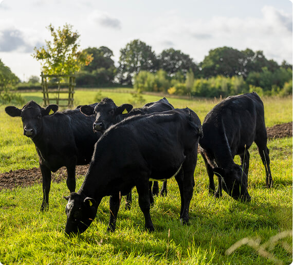
The Western Forest sits at the heart of one of England’s most productive farming regions. It is a landscape shaped over centuries by farming, woodland, and the towns and cities that have grown between them.
Yet this landscape is under increasing pressure.
Extreme weather events are becoming more frequent. Farming businesses are facing rising costs and uncertainty. Habitats have become fragmented, biodiversity is declining, and many people living in urban areas have limited access to nature close to home.
The Western Forest is our response: an evidence-led, landscape-scale initiative focused on reversing this decline and creating something lasting for future generations.
What is the Western Forest and why does it matter?
The Western Forest is creating a wooded mosaic across more than 1,400 square miles of Gloucestershire, the West of England and Wiltshire. Rooted in the foundations of two community forests, we are joining together to integrate trees into productive landscapes and support a more resilient landscape.
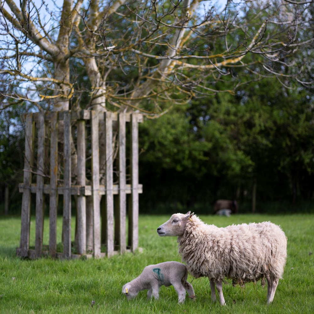
Trees can protect soils, improve water quality, reduce flood risk, provide shade and shelter for livestock, support nature recovery and create new opportunities for income, while strengthening food production across the region.
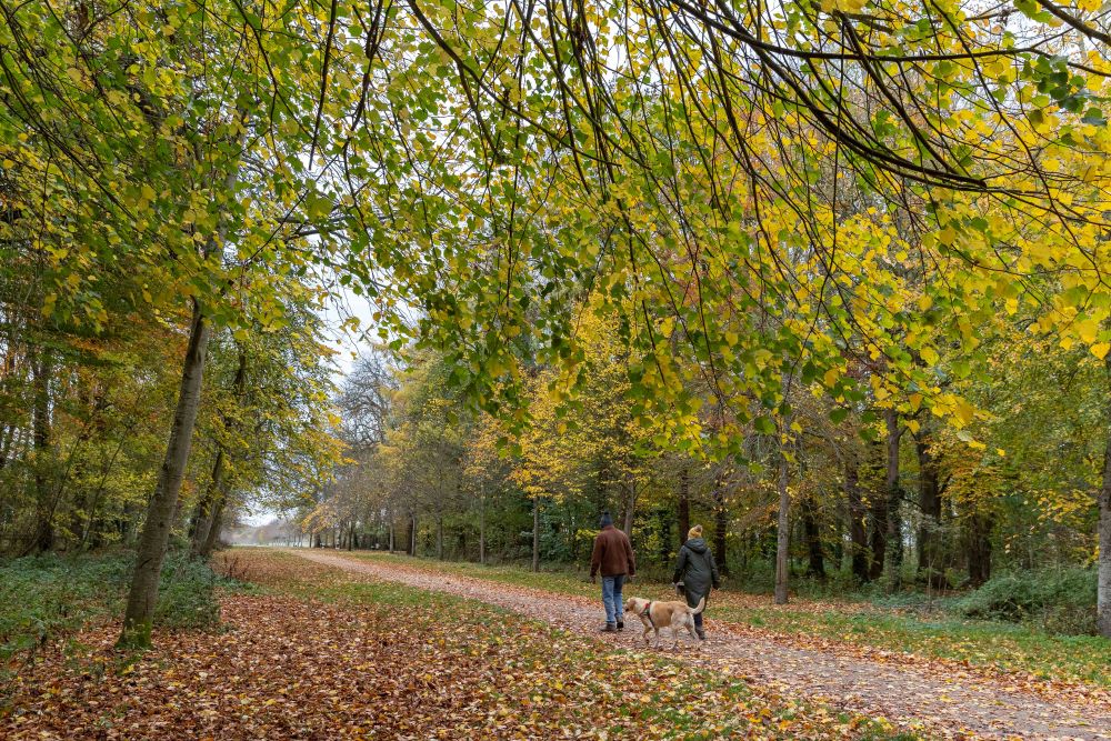
The Western Forest will also connect towns, cities and countryside, including Bristol, Bath, Gloucester, Cheltenham and Swindon, helping millions more people access trees and woodland close to where they live.
Why Here?
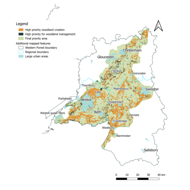
One of the most exciting features of the new map is that it shows the evidence behind the Western Forest Priority Area. Developed using detailed analysis by Forest Research, the priority area identifies where trees can deliver the greatest impact for nature, farming and people.
The analysis looked at:
- Existing woodland and habitat networks
- Opportunities to reconnect fragmented ancient woodlands
- Flood risk and water quality challenges
- Areas where agroforestry could strengthen farm resilience
- Access to green space and community benefits
- Land quality and landscape character
The result is a carefully targeted geography that connects important landscapes from the northern Cotswolds to Stourhead, while bringing major urban centres into the heart of the forest.
How will we deliver it?
The Western Forest and its partners will work with landowners, farmers, local authorities, NGO’s and communities to turn this vision into reality.
Support from our Better off with Trees include:
- Guidance on appropriate planting schemes
- Demonstration farms showcasing successful approaches
- Support for woodland creation and management
- Funding to improve access into woodlands
Our ambition is significant:
- 25% of farmers within the priority area engaging with a tree-related scheme
- 3,500 hectares of new trees and woodland created by 2030
- 20 million trees established by 2050
Together, these actions will deliver landscape-scale transformation across the West.
Explore the map
Whether you’re a farmer considering agroforestry, a landowner exploring opportunities for woodland creation, a local authority planning greener communities, or simply someone who would like to see more trees where they live, the map offers an insight into the opportunities ahead.
Find out more where everyone is better off with trees.
Related News & Stories


Stay connected
Subscribe to the Western Forest newsletter to hear about our progress, partner projects, events and volunteer opportunities.